
Build a view from multiple photographs
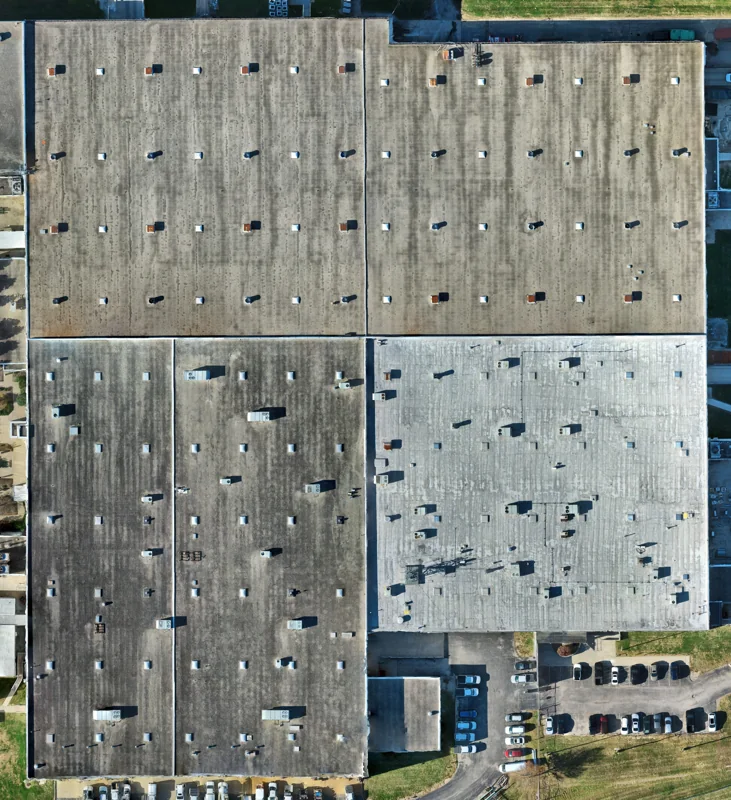
Photograph-based 3D modeling combines images captured from different viewpoints into a representation of a site or structure. It can help teams explore building shapes, communicate existing conditions, and present a project remotely.
Start with the intended use
Tell Brendan what you need to inspect or communicate, who will use the model, and how it needs to be opened. Model coverage, detail, file format, and viewing requirements should be agreed before capture.
Plan around the subject
Access, surfaces, lighting, vegetation, movement, and the ability to photograph all sides affect model completeness. Reflective or obscured areas may not reconstruct reliably. A detailed appearance does not establish measurement accuracy.
Related services
Drone mapping provides overhead site context. Gaussian splatting is a separate approach for photographic 3D visualization; discuss current availability and suitability with Brendan.
Independently verify measurements before use for engineering, surveying, or other decisions that require established accuracy.