Photogrammetry-Mapping
High-resolution orthomosaics and site maps created from overlapping aerial photographs for documentation, planning, and visual review.


Louisville, Kentucky
Louisville, Kentucky · All Images by Brendan Cullen / DANCIND
01 / Services
DANCIND provides focused aerial documentation and visual models for property, construction, inspection, and planning needs.
High-resolution orthomosaics and site maps created from overlapping aerial photographs for documentation, planning, and visual review.
Infrared aerial imaging to document temperature patterns and help identify areas that may warrant closer investigation by a qualified specialist.
Detailed aerial imagery of towers, antennas, mounts, cabling, and surrounding line-of-sight conditions for documentation and review.
Three-dimensional site and structure models for visual review, measurements, project communication, and existing-condition documentation.
Immersive, photo-realistic 3D scene capture that allows clients to explore a location from viewpoints beyond a conventional photograph.
02 / Selected Work
03 / About DANCIND
DANCIND LLC provides drone-based imagery, thermal documentation, mapping, and three-dimensional visualization. Each project is approached around the client’s actual question, the site conditions, and the most useful way to present the results.
Mapping, measurements, thermal observations, and 3D outputs must be independently verified before use for engineering, surveying, diagnosis, or other safety-critical decisions.
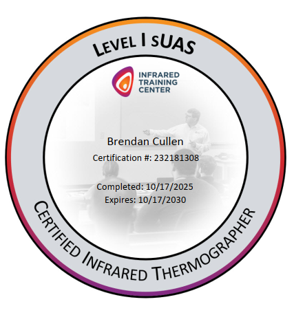
Infrared Training Center
Brendan Cullen · Certification #232181308
04 / Contact
Choose the most convenient way to reach DANCIND.